


アマノ技研が公開している地理空間データ一覧です。 いずれのデータも無料・無償で公開しています。ご自由にお使いいただけますが,データのみの再配布(二次配布)は禁止としています。改変しないアーカイブ(zipファイル)のままの再配布やアプリに組み込んでの配布などは問題ありません。利用報告も大歓迎です。
なお,地図ページに対して(再読み込みも含む)連続したアクセスを行うと地図が表示されなくなる場合がありますのでご注意ください。また,スクリプトなどを用いて同じデータを繰り返しダウンロードするとダウンロードページが利用できなくなる場合があります。
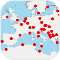
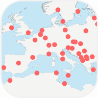
世界の首都の位置データ


全198の国・地域の首都の緯度経度データです。
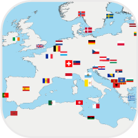
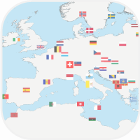
世界の国旗


全201の国・地域の国旗画像データです。40,80,120pxの3種収録です。


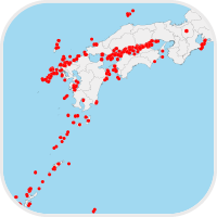
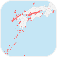
地方公共団体の位置データ


日本全国の本庁機能を有する役所(市役所,区役所など)の緯度経度データです。


日本の白地図


IllustratorおよびPDF形式の日本の白地図です。Illustrator版は都道府県でレイヤ分けしています。


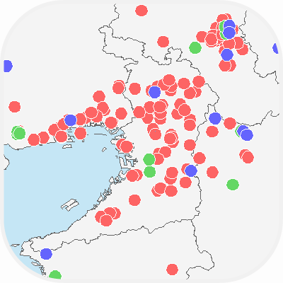
離島振興法対象離島の位置データ


離島振興法対象離島の緯度経度データです。※サポート終了


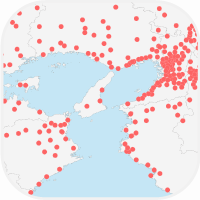
国内大学の位置データ


国内大学の位置情報(緯度経度)データです。大学一覧としても利用できます。
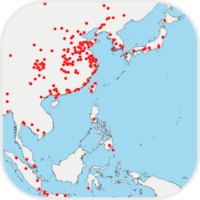
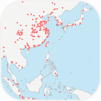
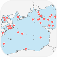
世界の百万都市の位置データ


百万都市(人口100万人以上の都市または都市圏)の位置情報(緯度経度)データです。
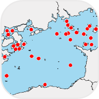
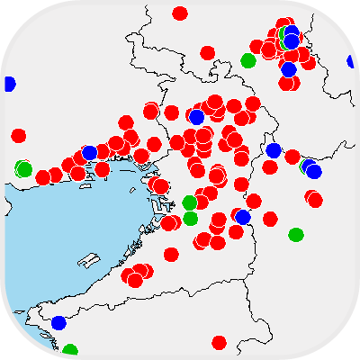
日本の離島の位置データ
日本の離島の位置情報(緯度経度)データです。
The following are geospatial data published by ASTI. The data are free to use, but redistribution is prohibited.


World Capitals


This is location data of world capitals. Total 198 countries. A file format is CSV.


World Frags


This is national flag data of the world. Total 201 countries. A file format is CSV.
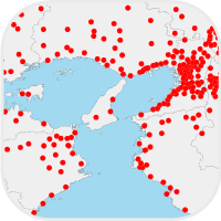
Local Governments


This is location data of local governments in Japan. Total 1,963 offices. A file format is CSV.
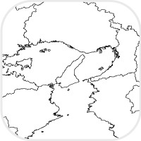

Blank Map of Japan


This is a blank map of Japan. File formats are Adobe Illustrator CS4 (.ai) and PDF.

Islands under RIDA


This is location data of islands under the RIDA (Remote Islands Development Act). A file format is CSV. *EoL
Universities in Japan


This is location data of Universities in Japan. A file format is CSV.


World Megacities


This is location data of Megacities. A file format is CSV.

Islands in Japan


This is location data of Japanese islands. A file format is CSV.